
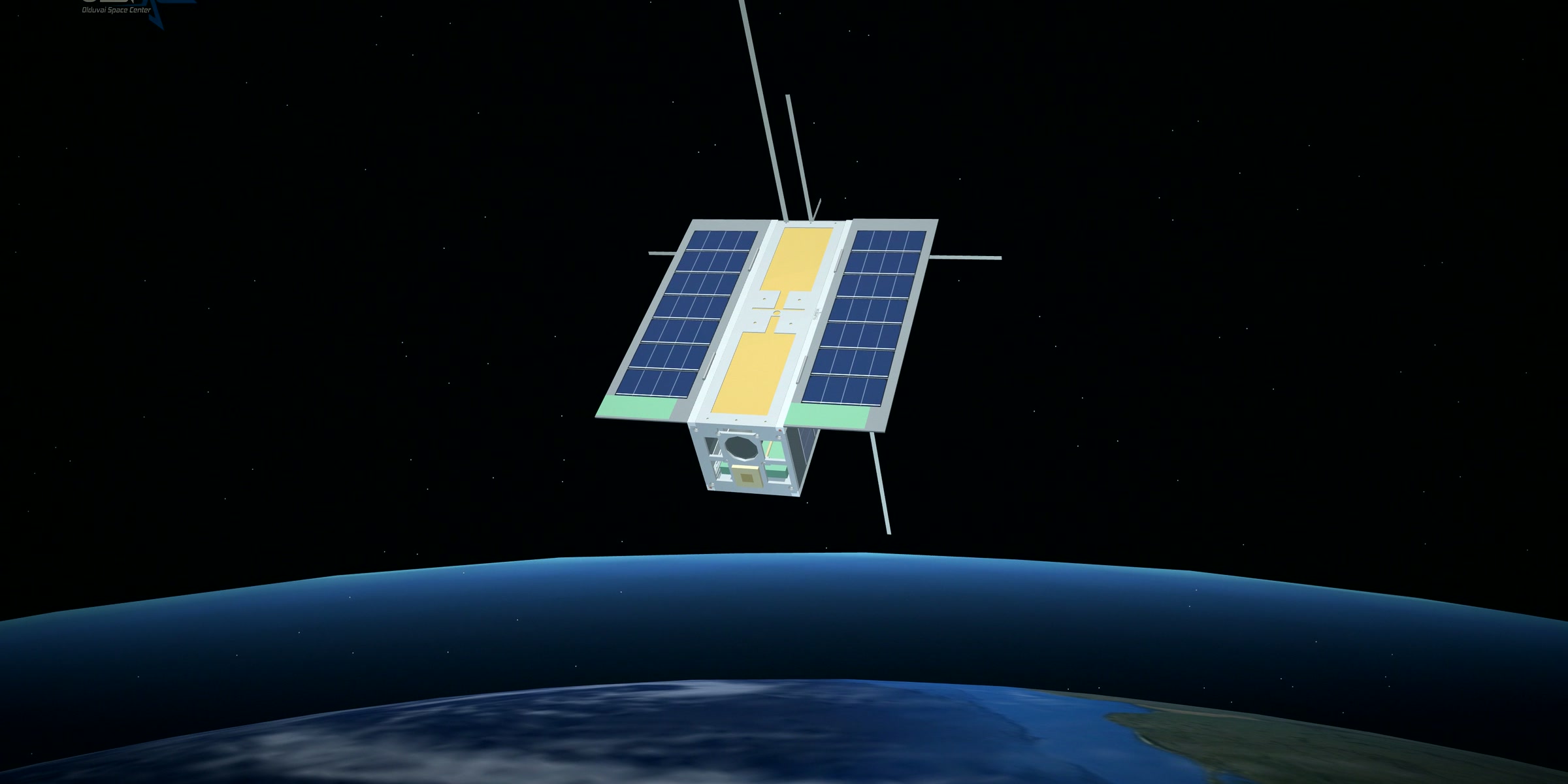
 Concept visualisation
OlduvaiSat-1: Tanzania looks back down.
OLSPACE is building a small Earth-observation satellite in Dar es Salaam. Its job will be to look back down at Tanzania: our farms, forests, lakes, coast and the people who depend on them.
For all of history, we have looked up at the stars. Now, it is Tanzania's turn to look back down.
Some of the oldest chapters of that history were written in Tanzanian ground. At Olduvai Gorge, in the north of the country, the story of our earliest ancestors was uncovered layer by layer, which is why Olduvai is called the cradle of humankind. We carry its name on purpose. A place that changed how the world understands where we come from has something to say about where we go next.
OLSPACE (Olduvai Space Center) is based in Dar es Salaam. We are a Tanzanian company that designs and builds satellites. Alongside satellite engineering we work in STEM education, because a space programme is only as strong as the young people who will one day run it.
OlduvaiSat-1 is our first satellite: a small Earth-observation CubeSat whose purpose is simple to say. It will look back down at Tanzania and show us our own country, clearly and often. The project started in 2023.
Small enough to hold in your hands.
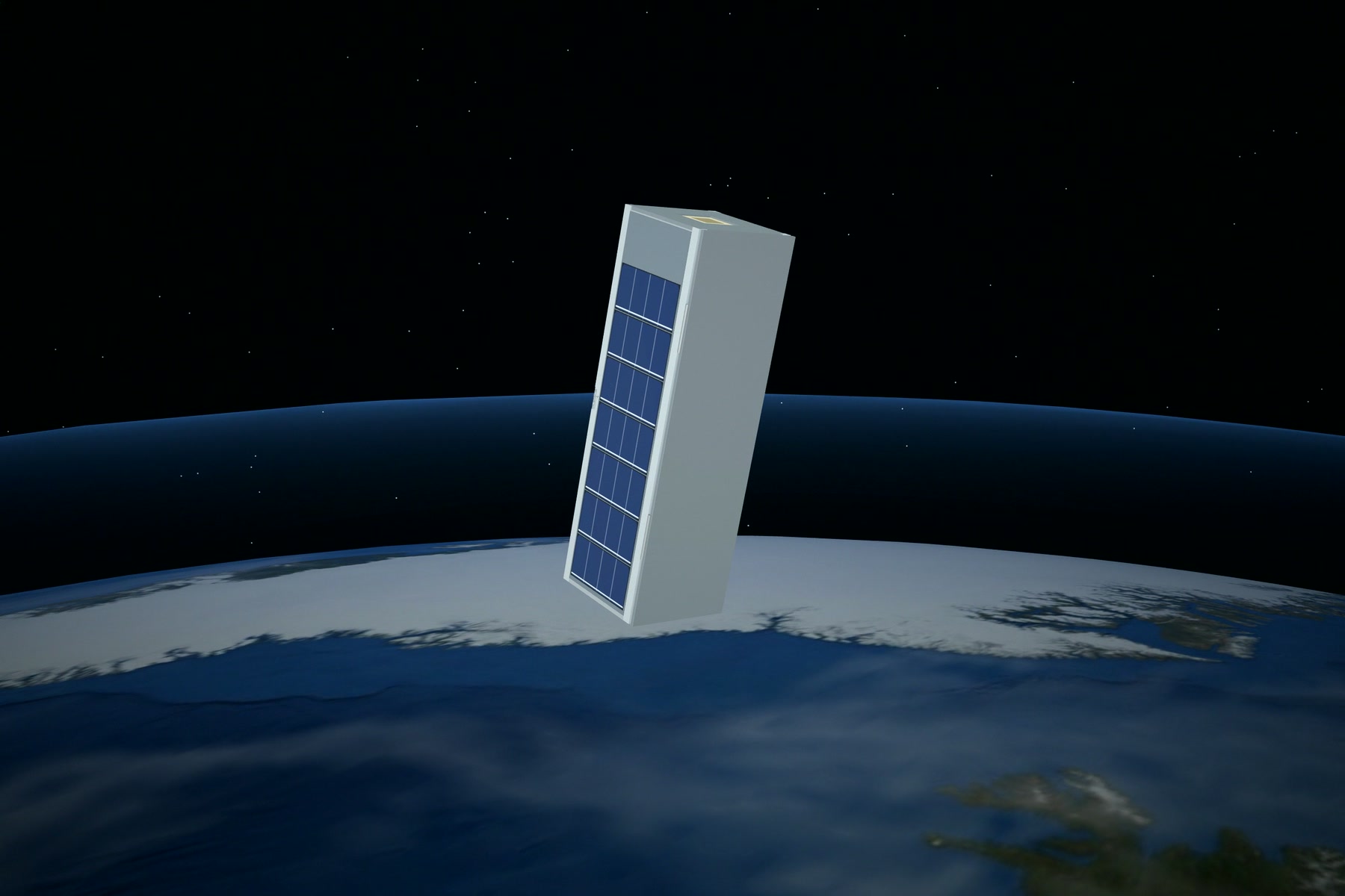
OlduvaiSat-1 is a 3U CubeSat: three ten-centimetre units stacked end to end, about 10 × 10 × 34 cm in all. It is small enough to hold in your hands, yet it is designed to do real work from orbit.
It will fly about 500 kilometres above the Earth in a sun-synchronous orbit, passing over each place at roughly the same time of day, so the light is similar from one picture to the next and changes on the ground are easy to compare. It will circle the whole planet about every 94 minutes.
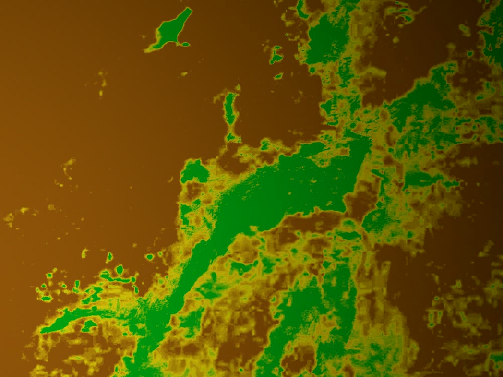
Its eye will be a camera that sees visible and near-infrared light. Healthy plants reflect near-infrared strongly, so the camera will be able to show how healthy vegetation is, a measure scientists call NDVI. Each pixel will cover about 5 to 22 metres of ground: enough to map fields, forests, lakes and land cover across the country.
Six ways it will serve Tanzania.
A satellite is only worth building if it answers real questions. These are the ones OlduvaiSat-1 is being designed to help with.
Crop health and food security
Crops under stress show it in near-infrared light before the damage is obvious from the ground. OlduvaiSat-1 will help map crop health across farming regions, so farmers, and the people who support them, can see which fields need water or attention.
Forests, lakes, rivers and coast
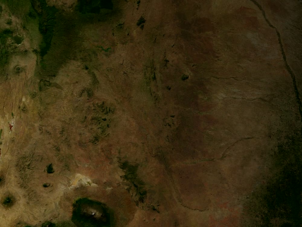
Tanzania's forests, lakes, rivers and coastline change with the seasons and with the people who live beside them. The satellite will help watch that change over time: forest cover, water levels and a shifting shoreline.
Maps for conservation
Conservation depends on knowing the land. OlduvaiSat-1 will help produce land-cover and habitat maps of the places where Tanzania's wildlife lives, so the people protecting it can plan with a clearer picture.
Watching our waters
Our lakes and our stretch of the Indian Ocean feed many families. Regular images of lake shores, river mouths and the coastline will help the people responsible for them see how those waters are changing.
Faster mapping after disasters
When a flood or another disaster strikes, the people responding need to know how far it reaches. OlduvaiSat-1 will help make those maps faster after the event, to support the response on the ground.
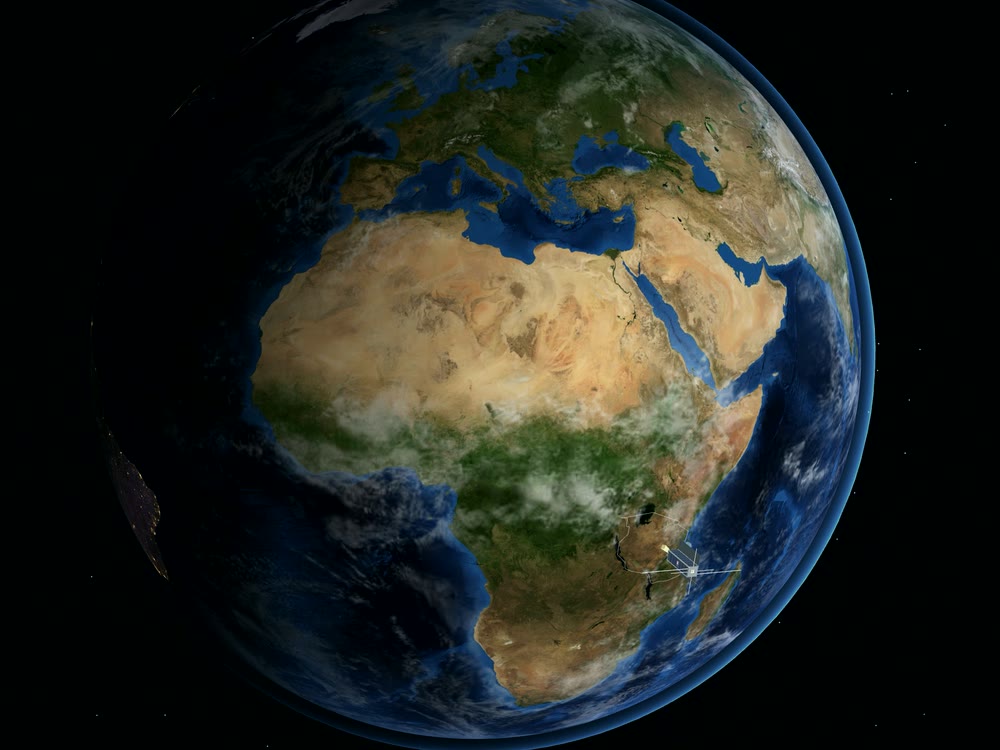
Tanzanian data, skills and pride
Every image will be Tanzanian data, and every step of building and operating the satellite will grow Tanzanian skills. When the first pictures of our country come home, they will show every young Tanzanian that this country builds for space.
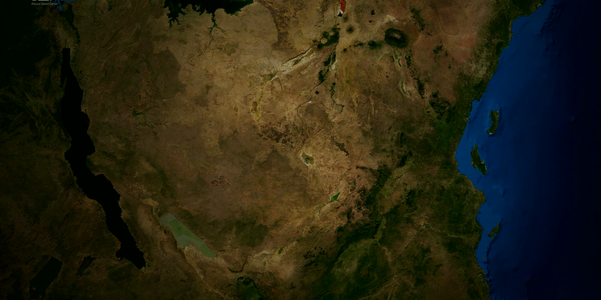
Images from the OlduvaiSat-1 teaser. Earth imagery: NASA Earth Observatory.
Tanzanian data in Tanzanian hands.
A satellite is only half of a space mission. The other half is on the ground. Images from OlduvaiSat-1 will come home to a planned ground station in Dar es Salaam.
That matters more than it may sound. Today, most pictures of Tanzania taken from space come from satellites built and operated elsewhere, on schedules set elsewhere. OlduvaiSat-1 is about changing who holds the view: Tanzanian data, received at home and in Tanzanian hands.
One step at a time, done properly.
OlduvaiSat-1 started in 2023. Today it is in development, and the engineering model is ready for test. Building a satellite takes patience, and there is real work still ahead of us. We would rather do each step properly than quickly, so we will not put a date on it here.
What we can promise is that we will share the journey as it happens: the work, the people behind it and the milestones as they come.
- 2023Project started
- DoneDesign
- Ready for testEngineering model
- AheadFlight model
Help OlduvaiSat-1 fly.
We are open to working with people and institutions who want to be part of Tanzania's satellite story.
Fund the flight model and launch
We are open to anyone who would like to fund the flight model and the launch of OlduvaiSat-1. If you would like to help this project reach orbit, please get in touch.
Contact usAcademic institutions
Academic institutions that would like to get involved in OlduvaiSat-1 are warmly invited to contact us. We would be glad to hear from you.
Contact usOr write to info@olspace.co.tz